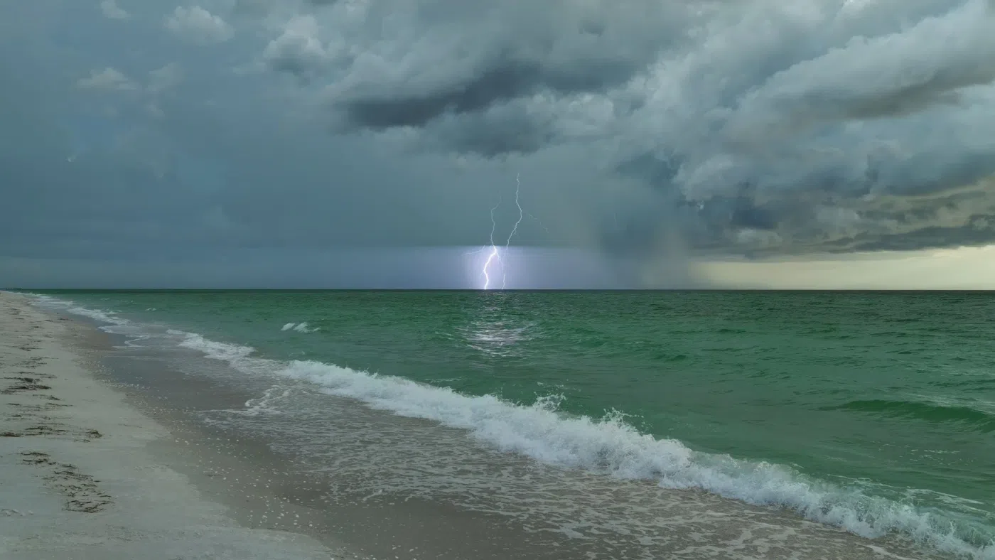
I’m Mike Davis. I’m talking with North Carolina Assistant State Climatologist Corey Davis. And Corey, let me get this right. It didn’t have a name. It was Potential Tropical Cyclone Eight. I think this really caught a lot of people off guard, perhaps because it did not have a name attached to it. We weren’t talking about a hurricane, so people really hadn’t been paying attention and didn’t realize how much rain was coming, even though forecasters said, Yeah, this could be a really heavy event, right?
“Yeah, for sure. Mike, you know, we look at those rainfall totals 18 to 20 inches down in the Southport area, but you’re right. Mike, the forecasts have gotten a lot better over that last 25 years since Floyd, even though we were surprised to see amounts that high, there were forecast models, including one from the Storm Prediction Center, that by Sunday afternoon, Sunday night, we’re showing that bullseye of 15 to 20 inches down over southeastern North Carolina. So the forecasters in that area certainly were aware that the potential was there, but again, awfully hard to believe, with a storm like that, that we could wring out that much moisture from it.”
And also so localized it came in to southeastern North Carolina. But South Carolina really didn’t get much out of it, did they?
“That’s right, it was very much a product of where those southeasterly winds were pushing that moisture in. So we saw a fairly localized region with those six inch plus totals really all across southeastern North Carolina. Then we look into Northeastern South Carolina. They were looking at four inches or less, for the most part, from this system. So some of those areas in the low country that have been getting a little bit dry through July and then the first part of September, really did not see the relief that they were hoping for from this system.”
What are you hearing out of South Carolina now?
“They’re still feeling the effects from we had earlier in the summer, back in June, when we got into that flash drought event, of course, that hit the corn crop the hardest, and other farmers are getting it out, trying to salvage what they can. They’re noting that, as expected, all those early planted corn crops are giving pretty low yields just because of how dry it was at that critical time of the year, the soybeans have been in better shape. They’re still looking for a little bit more rain, and the rain they did have this week should help with those and we’re also still feeling the effects from Debby on some of the crops down there. Cotton is generally in good shape, but some of those cotton crops got twisted up by the winds from Debby, and they’re still seeing those effects as they go through the field and near the harvest time. One bit of good news from the crop reports this week is that the tobacco harvest has pretty much wrapped up, and I’d say it was right in the nick of time based on the storm that we had earlier this week.

