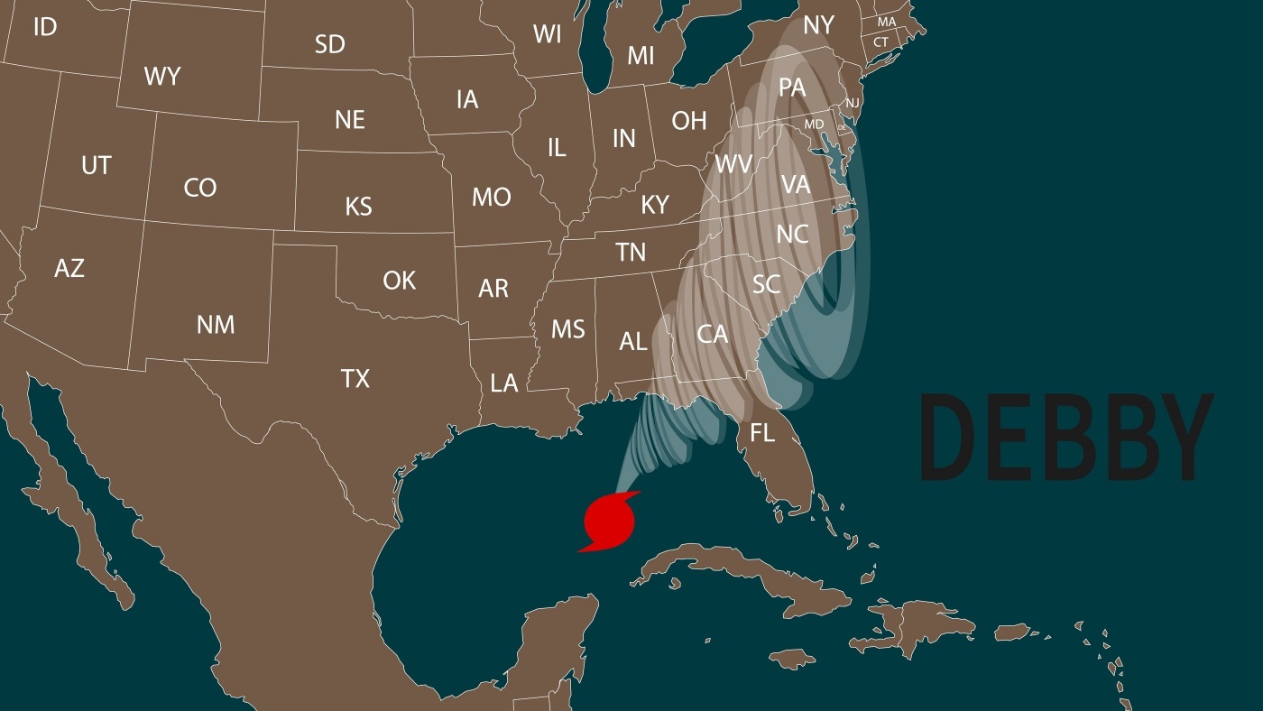
Tropical Storm Debby leaving an impact on the Carolinas. For some perspective right now, we turn to North Carolina assistant state climatologist Corey Davis. Corey, tell us what you’re seeing, what you’ve heard from across the Carolinas with the impact so far.
“Well, Mike, we have been through the wringer. This is an event that started three days ago on Tuesday morning. Since then, we’ve had, obviously, a lot of heavy rain across North and South Carolina, but also some other impacts. We’ve had some gusty winds and power outages yesterday. We’ve even had a few isolated tornados across eastern North Carolina. And I think the most impressive part about that is that it’s all coming from a fairly minimal tropical storm. When Debby moved to shore in South Carolina yesterday morning, only had wind speeds of about 50 miles per hour. So just seeing the wide spread scale of impacts and the severity, especially of those rainfall totals, this storm really is punched above its weight.”
A few days ago, we were seeing some what would have been really catastrophic totals, expected forecast for the rain, but we’re not seeing quite that much rain from this. Why is that?
“Well, it really did look like a dire forecast when we talked on Tuesday, especially because when we started looking at the rainfall photos that were coming in from parts of South Carolina, we had already seen 810, inches in some areas around Hilton Head, and that looked like a sign of things to come for the rest of eastern North and South Carolina. But the track of Debbie has actually shifted a little bit westward over the last couple days, and that’s meant that some of those heavier rainfall totals have gone a little further west as well. Some of those places that we were worried about maybe seeing 10 to 15 inches of rain. In southeastern North Carolina, looks like they’ll probably end up with somewhere in the six to 10 inch rain. So this is still a heavy rain event, but fortunately, it’s not going to be of the scale that we were worried about, and some of the forecasts were showing just a couple days ago.”
And not those wind totals. And of course, when we’re talking about a tropical storm versus a hurricane, and the different levels of that, what we’re really talking about are wind speeds. And we’re not seeing that kind of impact, are we?
That’s right. And as you say, Mike, this is all measured based on the strongest winds at the center of the storm. But when you’re looking at a storm like Debby, that’s especially as big as Debby has been, and it’s been as slow moving as it’s been, what’s happening at the center almost doesn’t matter, because the impacts are all happening away from the center. It’s the heavy rain under the rain bands of the storm. It’s also the isolated tornados that we’ve seen across the Carolinas, and we do have some gusty winds, certainly in some of those rain bands, but it’s not a widespread wind event like we saw, say, from Hurricane Ian a couple years ago, and that was a category one hurricane when it made landfall in South Carolina. But again, with Debby, not a huge wind concern, but with that said, there may still be some off and on power outages across North Carolina over the next day or so.”


