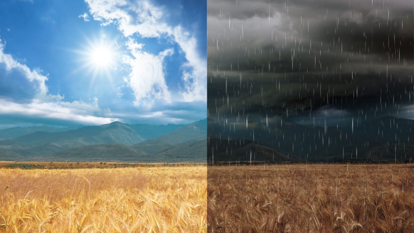
Quite a change in our forecast, quite a change in what we’ve seen weather wise over the past couple of weeks from the previous month, and I’m talking with Corey Davis from the State Climate Office of North Carolina. Corey, let’s start off with some of the amazing rain that we have seen, the rain totals, particularly in the eastern part of North Carolina, contrasting with the extreme drought that we had just just a few weeks ago.
“That’s right, Mike. Just over the past week, we’ve seen totals of six seven inches in parts of eastern North Carolina. And you think back to the month of June, there were places like Greenville that had less than half an inch for the entire month. Well now we’ve seen multiple hours in July, where they’ve had that half inch or more. So again, a big turnaround from one month to the next, and it feels like we’re watching a magic trick happening on the drought map, because we are seeing this drought just suddenly disappear. We had made it to the severe drought category across a good chunk of eastern North Carolina back at the beginning of this month, and as of this week’s nap, there’s very little drought left in eastern North Carolina. Most areas are back to just being abnormally dry at this point. So again, it just speaks to how much rain we’ve had lately, and how that has helped some of those rainfall deficits that have built up. And again, going to the Greenville area, I think that’s one of the most impressive stories of a change just from last month to this one, they’ve been a little bit drier, even dating back to the beginning of the year. And in fact, at the beginning of July, they were about nine inches below their normal rainfall for the year so far. Well, as of right now, they are less than an inch below normal. So again, just over the course of two to three weeks, it shows you how beneficial that rain has been at reducing some of those rainfall deficits.”
We’ve really seen this rain concentrated in sort of the eastern part of the of the state, have we not the other areas South Carolina, even though the West, in the Piedmont of North Carolina, they’ve not been able to take advantage of that.
“That’s right, Mike. You think about the events that we’ve had over the last week or two, it’s been some of these stalled frontal boundaries, and as moisture comes in from the south along those fronts, that’s really been triggering, triggering the heaviest showers right along that front. So we’ve seen some locally really heavy rainfall totals. But you don’t have to get too far away from those areas to go and find some lower totals. For instance, just down the coast in Charleston, South Carolina, they’ve had less than an inch over the past week. And then in parts of western North Carolina, including the southwestern Piedmont, they’ve only had a bound inch for the last week. So some of their big reservoirs out there, Lake James, Lake Norman, they just haven’t seen the recovery that they would have expected, knowing that we’ve been in a weather pattern. So they could just take a little more time and a little more rain for those areas to catch up like we’ve seen across eastern North Carolina.”


